Products
Product Details
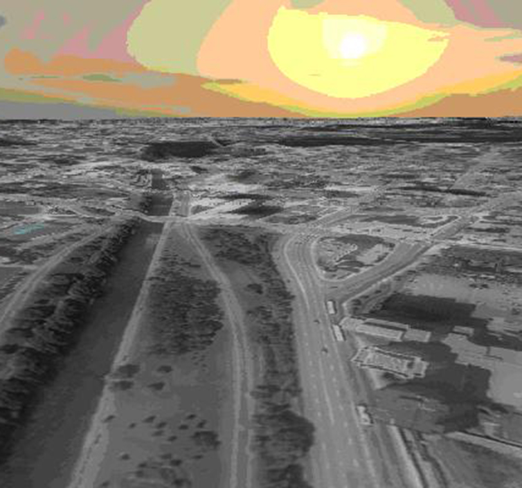
U SDK is an advanced multi-threaded embedded scene manager that provides global 3D map terrain generation and local scene content rendering. The U-SDK provides embedded developers with an effective toolset for developing synthetic visual flight displays, mobile map applications, and 3D scene rendering applications.
Terrain generation:
The SDK is capable of rendering complex geomorphic features, such as runway and satellite images, and can synthesize the contents of various scenes, including elevations, images, buildings, airport runways, threat areas, place names/markers, and display flight paths.
Intelligent scene rendering:
Displaying multiple layers of complex scenes increases processor load and lowers frame rates. U SDK unique CPU/ GPU load balancing management, using multithreading processing, effectively and accurately render scenes. Intelligent balance processor and GPU bandwidth, effectively reduce the load of the processor.
Product features:
Universal scenario manager
· Object-oriented 3D scene management library
· Vector mathematical library, three-dimensional mathematical function library
· Crash test
· Camera/view melting platform
· Matrix operation
· Operating system-related libraries of basic data structures (queues, trees)
· GPU resource management (textures, VBO, IBO, shaders)
· Compatible with OpenGL ES 1.1, OpenGL SC, ES2.0 standards, Shader to achieve all basic rendering modes
· Basic font and widget support?
· Available for mobile (iOS, Android), embedded (Linux and RTOS) and desktop (Windows/Linux) operating systems
Terrain scene rendering engine
· Dynamic mesh generation provides detailed content rendering based on the appearance created by real-time terrain
· Supports multi-resolution textures
· Dynamic lighting effect of OpenGL
· 3D content layering: terrrain/ elevation, images, buildings, airport runways, threat areas, threat level thresholds, place names/markers, clicks/flight tracks, user-generated layers
· Advanced level of detail (LOD) management
· Embedded high resolution illustrations for live layer support
· Achieve efficient multitasking and low latency rendering
· Low latency loading and rendering
· Accelerated loading of the data layer, coupled with intelligent rendering, achieves low latency performance and even a head-mounted display
· Continuous camera/scene movement without burrs or burps
· It can be observed in a wide Angle of view
· Dynamic CPU/ GPU load balancing
· Terrain data
· Create datasets quickly
· Fast import and edit of COTS global data
· Multi-resolution data compression,
· Fast access and small footprint (with proprietary compression)
· Enable high render rate/frame rate
· High definition illustrations
· Optional data: global 15M precision image, global 90M altitude,
· Data import support, satellite images (GeoTIFF format, JPEG2000, ECW), terrain (BIL, GeoTIFF format) airports, Arinc424 data, Google SketchUp, Collada and other custom 3D building databases
application
HMI and 2D/3D map engine
Helmet 2D/3D map and composite view display
Situational simulation, UAV control 2D/3D map engine
Copyright © COORDINATE CO LTD Tel:010-84647142 京ICP备14042807号-1